
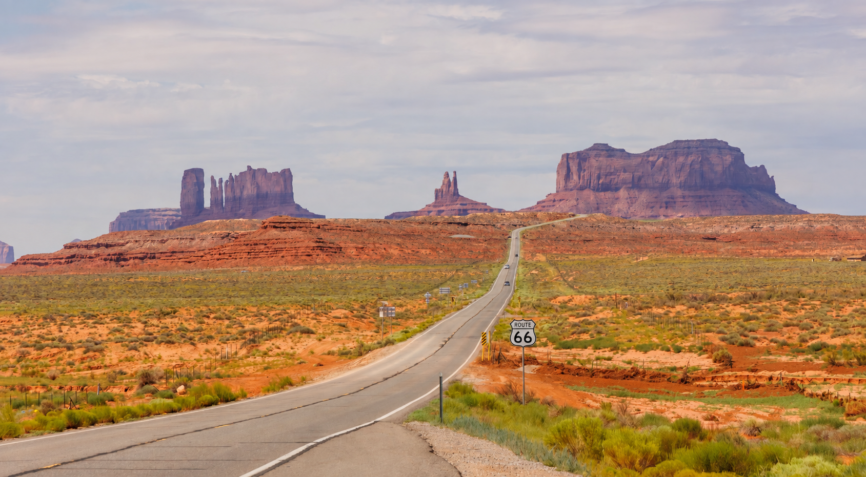
Route 66 was removed from America’s official highway system in 1985.
The road itself never disappeared.
You can still stand beneath the Route 66 sign in downtown Chicago, point your car west, cross eight states, and finish beside the Pacific Ocean at Santa Monica Pier.
But you cannot simply enter “Route 66” into Google Maps and expect one road to carry you all the way there.
The modern Route 66 is a journey you have to reconstruct. It survives as historic pavement, city streets, state highways, frontage roads, and occasional stretches of Interstate. Some sections are marked with brown Historic Route 66 signs. Some have been renamed. Others end suddenly at a fence, disappear beneath a newer highway, or have been abandoned to the desert.
That is the challenge of traveling Route 66 today. It is also part of its magic.
You are not simply following a road. You are going on a quest, searching for the pieces of a road that changed America.
Can You Drive Route 66 from Beginning to End?
Yes!
Most of the historic corridor remains accessible by car, although you will not drive every original mile. Route 66 changed its alignment several times during its history, and some early sections are now closed, unmaintained, or located on private property.
Where the old pavement disappears, travelers use a modern highway until they can rejoin the historic route.
The journey begins at the Begin Route 66 sign at Adams Street and Michigan Avenue in Chicago.
From there, Route 66 crosses Illinois, Missouri, Kansas, Oklahoma, Texas, New Mexico, Arizona, and California.
For today’s traveler, the ceremonial finish is the End of the Trail sign on Santa Monica Pier.
By the time you reach it, you have crossed approximately 2,448 miles of America. The exact modern distance depends on which historic alignments you choose and how often you have to return to the Interstate.
The trip begins among the skyscrapers of Chicago and ends with the Pacific Ocean.
Before the Neon Signs, Camels Crossed the Future Route 66
Long before Route 66 had diners, motels, gas stations, or even a number, camels were crossing part of its future path.
In 1857, Edward Fitzgerald Beale was commissioned to survey and build a wagon road across the Southwest. Alongside the expedition’s horses, mules, wagons, and livestock traveled a much more unexpected caravan: camels imported to test whether they could handle the heat, difficult terrain, and long distances between sources of water.
They could.
The camels performed remarkably well. They carried heavy loads, ate plants that other animals avoided, and managed the desert conditions better than many people had expected.
It is a wonderfully strange beginning for the story of America’s most famous highway: before the convertibles and neon, there were camels carrying supplies through the desert.
The resulting Beale Wagon Road became an important route across northern Arizona. Decades later, parts of Route 66 and then I-40 would follow roughly the same transportation corridor.
The camel experiment was eventually abandoned, but the road remained.
How Route 66 Became the Main Street of America
Route 66 was not constructed as one entirely new highway. When it was established in 1926, existing local roads were connected, improved, and given a single number. Together, they created a route from Chicago toward the West Coast.
The road ran through the centers of towns rather than around them. Travelers passed directly beside local stores, cafés, hotels, garages, and gas stations. A family driving west did not simply see a town from a distant highway exit. They entered its main street.
That relationship changed the communities along the route.
A well-placed gas station could support a family. A brightly painted café could persuade hungry motorists to stop. A motel with a large neon sign could turn an unknown town into the place where travelers decided to spend the night.
By 1938, the entire route was paved. It became the first all-weather highway linking Chicago and Los Angeles.
The journey was still far from easy.
In the 1930s, traveling the complete route could take about a month. Cars overheated and broke down. Tires failed. Roads crossed long stretches of farmland and desert with limited services. Travelers had to think about fuel, water, food, repairs, and where they would sleep long before they reached the next town.
Route 66 was not yet a nostalgic road trip.
For many people, it was a road of survival.
Why Route 66 Became Known as the Mother Road
During the Great Depression and the Dust Bowl, thousands of families left Oklahoma, Arkansas, Texas, and neighboring states.
Their farms had failed. Work had disappeared. Dust storms had damaged the land on which their lives depended.
Families loaded clothing, tools, mattresses, cooking equipment, and almost everything else they still owned onto cars and trucks. Then they joined Route 66 and headed west toward California.
They were often collectively called Okies and Arkies, even when they came from somewhere else.
California appeared to promise jobs, fertile land, and a chance to begin again. The reality was often much harder, but Route 66 remained the road that seemed to lead toward survival.
John Steinbeck described it in The Grapes of Wrath and called it the Mother Road.
The name stayed because it captured what the highway had become. Route 66 carried people who had lost homes and communities toward the possibility of building new ones.
A few years later, the same road took on another role.
During World War II, military trucks, equipment, supplies, and workers moved along Route 66. Its diagonal path across the country made it an important transportation corridor between military facilities and industrial centers.
Then the war ended, Americans bought more cars, and the road transformed again.
When Route 66 Became an American Vacation
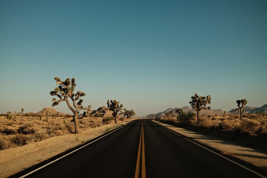
In the 1950s, families began using Route 66 not to escape disaster or transport military supplies, but to see the country.
The journey became part of the vacation.
Businesses competed for the attention of motorists. Ordinary signs grew larger and brighter. Motels added swimming pools. Restaurants promised homemade pie, cold soda, and air-conditioning. Roadside attractions became deliberately strange because strange things made people slow down.
A giant blue whale appeared beside a pond.
A motel offered concrete rooms shaped like teepees.
Ten Cadillacs were buried nose-first in a Texas field.
A gas station in the desert raised a neon sign tall enough to be seen from miles away.
Route 66 became the Main Street of America, a road lined with family businesses and places that existed because people were willing to stop.
That world inspired music, literature, television, and eventually animation.
In 1946, Bobby Troup wrote “(Get Your Kicks on) Route 66,” turning the names of communities along the highway into one of America’s most recognizable road songs. Nat King Cole made it famous, and later versions were recorded by Chuck Berry, the Rolling Stones, and other artists.
In the 1960s, the television series Route 66 followed two young men traveling across America in a Chevrolet Corvette.
Decades later, Pixar’s Cars told the story of a once-busy town forgotten after a faster highway diverted traffic away from its main street.
That story was fictional, but what happened to towns along Route 66 was not.
What Happened to Route 66 When the Interstate Arrived?
The Interstate system made travel faster, safer, and more efficient. It also changed the economic life of Route 66 almost overnight.
The new highways did not pass through every downtown. They bypassed them.
A driver could now travel hundreds of miles without stopping at the family-owned gas station, café, motel, or store that had once stood directly beside the main road. Businesses that had depended on a continuous stream of travelers suddenly watched the traffic disappear.
Some adapted. Others survived by serving local communities.
Many closed.
In certain towns, the decline was so severe that buildings were abandoned and entire main streets seemed to freeze in time.
In Glenrio, a small town on the Texas-New Mexico border, the motels, cafés, and gas stations lost their customers when Interstate 40 bypassed the community in 1975. Today, the historic district preserves the old Route 66 roadbed and 17 abandoned buildings.
Farther west, Amboy in California suffered a similar fate after Interstate 40 opened in 1973. Most of the town emptied, but the neon sign of Roy’s Motel and Café still rises above the desert as one of Route 66’s most recognizable landmarks.
Route 66 was gradually replaced by I-55, I-44, I-40, I-15, and other modern highways. In 1985, it was formally removed from the U.S. Highway System.
But local residents refused to let it disappear completely.
They formed preservation associations, restored gas stations, reopened motels, created museums, repainted signs, and persuaded state governments to recognize surviving sections as Historic Route 66.
Those efforts are the reason we can still travel the road today.
What States Does Route 66 Go Through?
The modern journey is not eight versions of the same road.
Every state gives Route 66 a different character. Illinois has old brick pavement and small Midwestern towns. Missouri brings hills, curves, and historic bridges. Oklahoma has some of the longest drivable sections. New Mexico glows with neon. Arizona tells the story of the towns the Interstate nearly erased. California carries the road across the Mojave and into the Pacific.
How to Navigate Route 66 Today
Driving Route 66 requires more preparation than following a normal road trip route.
If you enter Chicago and Santa Monica into Google Maps, the app will choose the fastest modern highways. It will place you on the Interstate and bypass many of the towns, landmarks, and surviving sections you came to see.
The practical solution is to build the journey one day at a time.
Use Waypoints to Navigate Historic Route 66
Do not enter only the final hotel.
Add the historic towns and important stops in the order in which you want to visit them.
For example: Holbrook → Winslow → Flagstaff → Williams → Seligman
Without these waypoints, a navigation app will usually return you to I-40 and skip the smaller Route 66 communities.
Download Route 66 Maps for Offline Navigation
Cell service is often unreliable in rural and desert areas.
Download maps before leaving larger towns and keep a Route 66 map available as a backup. Historic signs are useful, but signage can be inconsistent and should not be your only navigation method.
Check Route 66 Road Conditions Every Morning
Historic alignments can close because of construction, flooding, wildfire, snow, or damaged pavement.
Before driving, open the Federal Highway Administration’s National Traffic and Road Closure Information directory and select the Department of Transportation or 511 service for the state you are crossing.
If a section is closed, abandoned, or marked as private property, return to the modern highway and rejoin Route 66 later.
Following the historical corridor does not mean risking your car on an unsafe road.
How Long Does It Take to Drive Route 66?
The complete journey can be driven quickly. That does not mean it should be.
Ten to twelve days is technically possible, but much of the trip will be spent behind the wheel.
You will need to select only a few major attractions and accept that many museums, small towns, historic motels, and spontaneous stops will be left out.
Two weeks is a reasonable minimum.
This allows time for the main historic towns, major roadside attractions, several museums, and the most important scenic sections. The pace will still be active, especially across the western states.
Three weeks creates a much better Route 66 experience.
You can plan shorter driving days, stay in historic motels, visit small museums with limited opening hours, and stop when something unexpected appears beside the road.
For comparison, an official Route 66 Centennial caravan completed the route in 20 days in 2026. That is a realistic pace for a journey focused on the road rather than simply reaching California.
What Kind of Car Do You Need to Drive Route 66?
A normal rental car is sufficient for the maintained and officially recognized sections of Route 66.
You do not need an SUV or four-wheel-drive vehicle. Comfort, luggage space, fuel efficiency, and the rental agreement matter more.
Before confirming the reservation, check:
- whether unlimited mileage is included
- whether one-way travel is permitted
- the fee for returning the car in another state
- roadside assistance coverage
- tire and windshield exclusions
- whether every driver must be registered
- which types of road are prohibited by the rental agreement
A one-way rental from Chicago to Los Angeles is the logical option. Driving the car back to Chicago would add thousands of miles and turn the trip into a very different journey.
When Is the Best Time to Drive Route 66?
Route 66 crosses several climate zones, so no month provides perfect weather everywhere. For most travelers, late spring and early fall offer the most comfortable balance.
Spring usually brings comfortable driving temperatures, but severe storms are possible in the central states. Snow may still affect high-elevation areas.
Summer offers long daylight hours and the widest selection of open attractions.
It also brings extreme heat to Texas, New Mexico, Arizona, and California. Desert travel requires plenty of water, regular fuel stops, sun protection, and a reliable air-conditioning system.
Early fall is often the best overall compromise.
Temperatures become more manageable, summer crowds begin to decrease, and most attractions remain open.
A winter journey is possible, but snow, ice, and shorter daylight hours can complicate the northern and high-elevation portions.
Flagstaff sits at almost 7,000 feet and can receive significant snowfall. Arizona does not always mean warm desert weather.
What Should You Book in Advance for a Route 66 Road Trip?
Route 66 allows room for spontaneity, but some reservations should be made early.
Book these first:
- the one-way rental car
- hotels in Chicago and the Los Angeles area
- popular historic motels
- accommodation in small towns with limited inventory
- special events during the 2026 centennial
- timed tours and guided experiences
- any national park accommodation added to the route
Historic properties such as the Wigwam Motels have a limited number of rooms. Small Route 66 towns may offer only a few desirable places to stay, particularly on weekends and during centennial events.
At the same time, check the full driving sequence before booking every night.
A hotel in the wrong part of a large city or beyond the next day’s historic alignment can add unnecessary mileage and force you to backtrack.
Practical Tips for a Route 66 Road Trip
Fill the tank before entering remote desert sections. Carry drinking water in the car, even if you do not expect to leave the pavement.
Check opening hours before driving to small museums, cafés, and visitor centers. Many Route 66 businesses are independently owned and may close early or operate only on certain days.
Do not rely entirely on the Historic Route 66 signs. Combine them with an official map, state guides, saved waypoints, and offline navigation.
Allow extra time for the mountain road between Kingman and Oatman.
Expect weather to change dramatically along the route. One journey can include Midwestern storms, New Mexico winds, snow near Flagstaff, and extreme heat in the Mojave.
Most importantly, leave space in the schedule.
The stop you did not plan may become the part of Route 66 you remember most.
Do you want to do the Road 66 trip? Download the TravUp app (iOS / Android) for all the details. You can also read our 10-Day Las Vegas to Los Angeles Road Trip Itinerary for more road trip inspiration.